
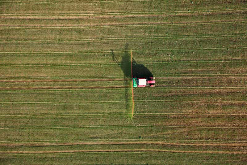
Drone Surveying and Mapping
Drone mapping capabilities are revolutionizing how sites are surveyed. Botlink is designed to deliver the information needed, in an easy and cost-effective package.

Drone Surveying Software Made Easy
Surveying with Botlink’s drone flight software is an easy and cost-effective way to increase the efficiency of any project where detailed maps are used. Botlink software makes it easy to plan a drone flight, fly the mission, retrieve the data from the drone, and then upload to the cloud for processing. After that, the image processing and stitching are 100% automated, and you’ll be updated via email when your maps are ready to view.
Time-Savings
The biggest advantage to implementing drone technology into any survey team is the time-savings. Projects that used to take days can now be accomplished in hours. Botlink offers even more efficiency by streamlining the image processing and map rendering. Simply upload your photos, and walk away, and Botlink will take care of the rest and notify you when the maps are ready to be viewed.

Cost-Effective
Integrating drones into any surveying business leads to cost-savings because of efficiency gains, but Botlink has taken it to the next level. We understand that a lot of the cost in the drone-mapping software is wrapped up in features that the average customer never uses. Botlink is designed to deliver exactly what the surveying customer needs at the lowest price possible.
Contact Us