Automated Drone Software For Agriculture
The days of scouting crop health manually is a thing of the past. Botlink’s aerial surveys deliver valuable data quickly and autonomously. Create detailed maps of your field and take action immediately.

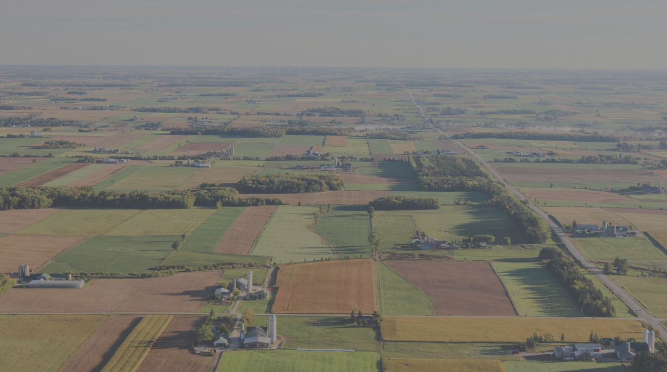
High-Definition Maps
Effortlessly photo stitch aerial images into a single, high-definition map to view your entire field.

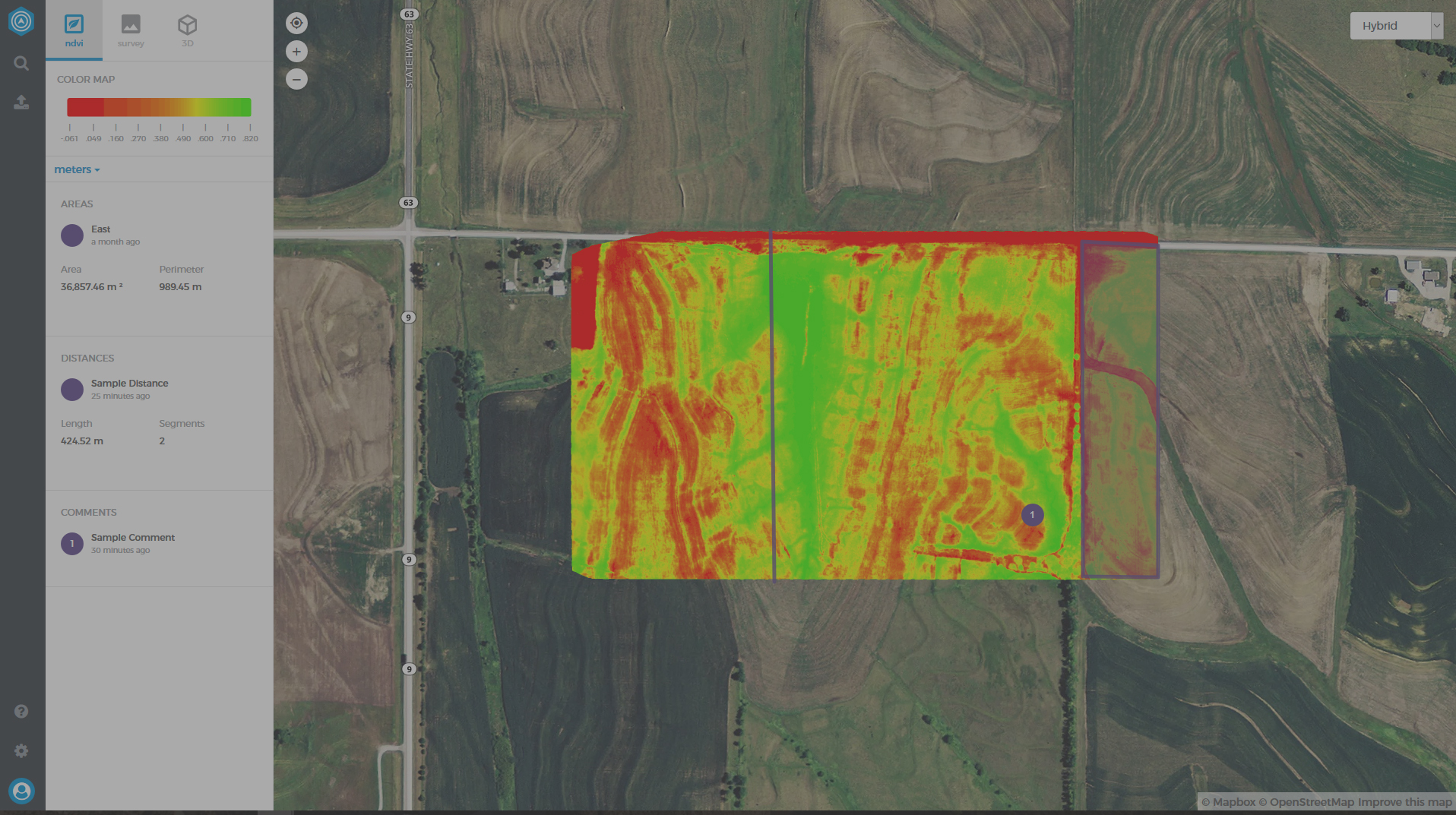
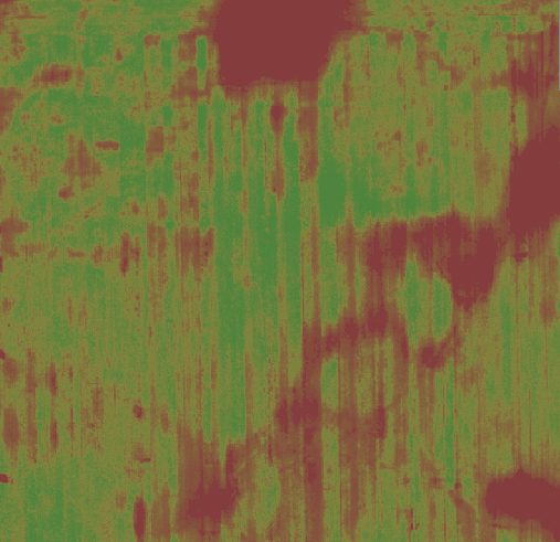
Vegetation Index
Use near-infrared photography to survey and analyze crop health at each point in your field.

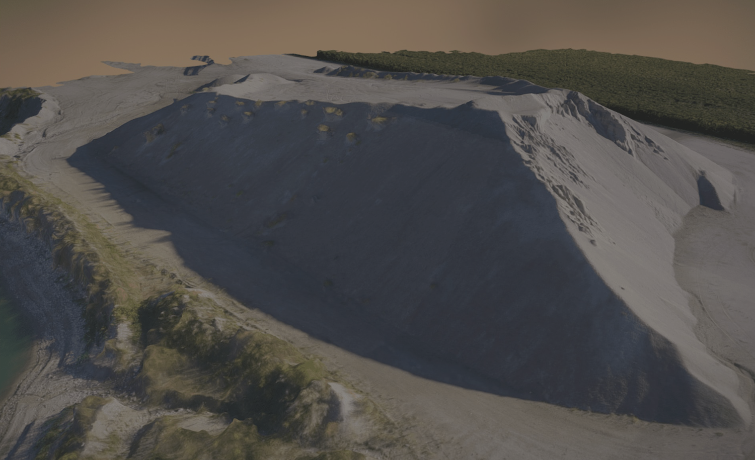
Terrain
Models
Create stunning Digital Surface and 3D models to identify high and low points or drainage issues.


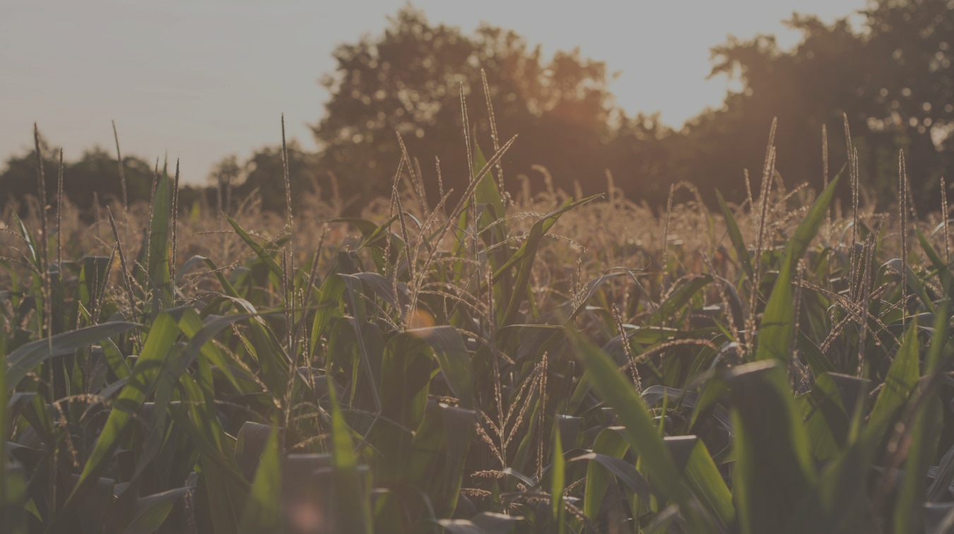
The Next Evolution In Farming
Your fields are your livelihood. Unfortunately, droughts, pests and extreme weather can wreak havoc on them. On the ground, your view is limited, but with the use of a drone and Botlink’s software, you can capture hundreds of photos during a flight and turn them into a single detailed and data rich map.
Creating NDVI maps means farmers and agronomists no longer have to spend hours of their day searching fields for problematic areas. Botlink provides a clear eye from the sky, delivering increased speed and detailed imagery right at your fingertips.
Rapid, On-Demand Data
Precision imagery allows for the creation of detailed photo stitches of your field. How does this benefit you? Find out exactly where to spray, reseed or irrigate and where not to. Increase yields and improve your bottom line.
Inspect Flights Your Way
Processed aerial imagery is stored and organized in the Botlink web app, where you can continually monitor your fields over time. Take accurate photogrammetric length, area and volume measurements anywhere there’s an internet connection.
Find Issues and Take Action
Observe the high points, low points and terrain contours of any field. Use your captured data to see where drainage may become an issue.

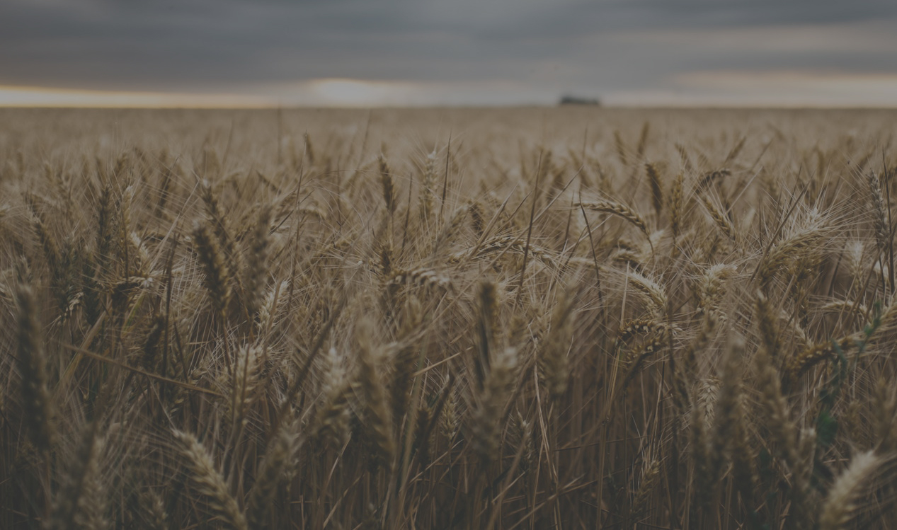
Benefits of Drone Imagery
Agricultural drones offer a cost-effective alternative to manned aircraft and satellite imagery. With unmatched versatility and accessibility, they deliver the precise means to capture crop data on demand. Avoid waiting days or weeks to discover troubled areas in a field. Take action sooner and save money, time and valuable resources.
The Right Drone for the Job
Botlink is a resourceful and adaptable platform, compatible with fixed-wing, multi-rotor and vertical takeoff and landing drones. We don't limit you to a single drone. Use the one that's right for the job you need completed. Save unique profiles in the app to quickly connect and switch between drones based on your needs.

Collaborate and Annotate
Make notes and annotations and easily share them with clients and colleagues. Stay on track and under budget.
Export to the Tools You Already Use
Export your image files to the industry leaders like AgLeader® SMS™ and agX® SST agriculture software. Streamline your workflow and gain expert insight with the tools already familiar to you.
Integrated With Apps You Already Use

Farmworks
Integrate your data with FarmWorks agriculture software. Take data from your field and turn it into smarter decisions with the FarmWorks management software.

AgX SSt
The SST platform enables Botlink users with an automated crop scouting and analysis workflow. This saves farmers and agronomists multiple steps and reduces the time between image capture and analysis, meaning the data can be used while it is still timely and actionable.
Sentera
Botlink is compatible with Sentera agriculture solutions to enhance input application, field scouting, equipment audits, historical analysis, consultation and diagnosis.

AgLeader SMS
This farm management tool lets Botlink users take data from their field and turn it into smart management decisions, using information gathered with their drone.
Contact Us