Why Using Drones Makes Aggregates Producers More Profitable
With the expansion of the drone industry in the commercial sector, one area where drone usage is a no brainer is in the aggregate industry. The utility of being able to fly, map tens to hundreds of acres of land within 30 minutes to an hour (dependent on platform used), compile that data, and have accurate readings before lunch is revolutionary for aggregate producers.
The most common feedback we hear from customers is that using drones saves them time, and time is money, right? When it comes to production scheduling, being able to quickly assess how much of a product has been produced ensures that employees and machinery are not over or underproducing, both of which can cause inefficiency in the yard. I’m sure anyone reading this has probably ran into the situation where machinery was moved too soon, or was ran for too long, burning valuable time at the end of the day.
Depending on the platform used, size of the area needing mapping, and money investment to get a drone in the air, having one up and flying is by default worth any aggregate business’ time. If you want to go to Best Buy and grab a DJI right off the shelf, download mapping software, then go out and fly that same day it will be worth it. After you have all the necessary tools you can get up and fly from one location on the site and land within an hour with all your data.
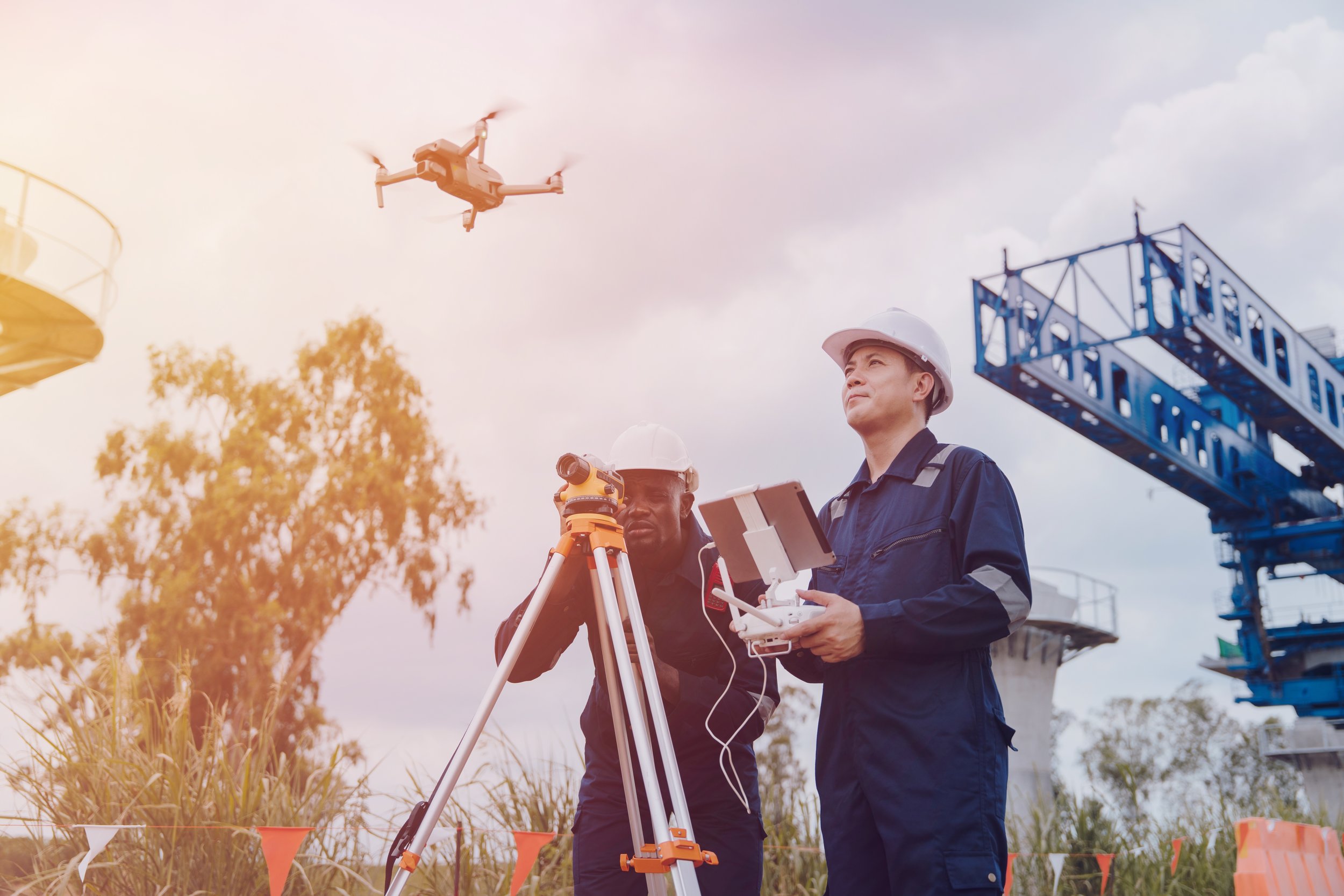
Due to the ease of use and the reduction of manual labor, you can trust that using drones for aggregate survey work is exceptionally safer. With no need to have to get near active sites that are constantly moving aggregate either onto trucks, into processing, etc. you can have one pilot (and a visual observer if necessary) sit in one location the entire time and not disrupt anyone working. Since drones operate in the air and can be safely operated well above any obstacles, safety, by using drones, is maximized even more.

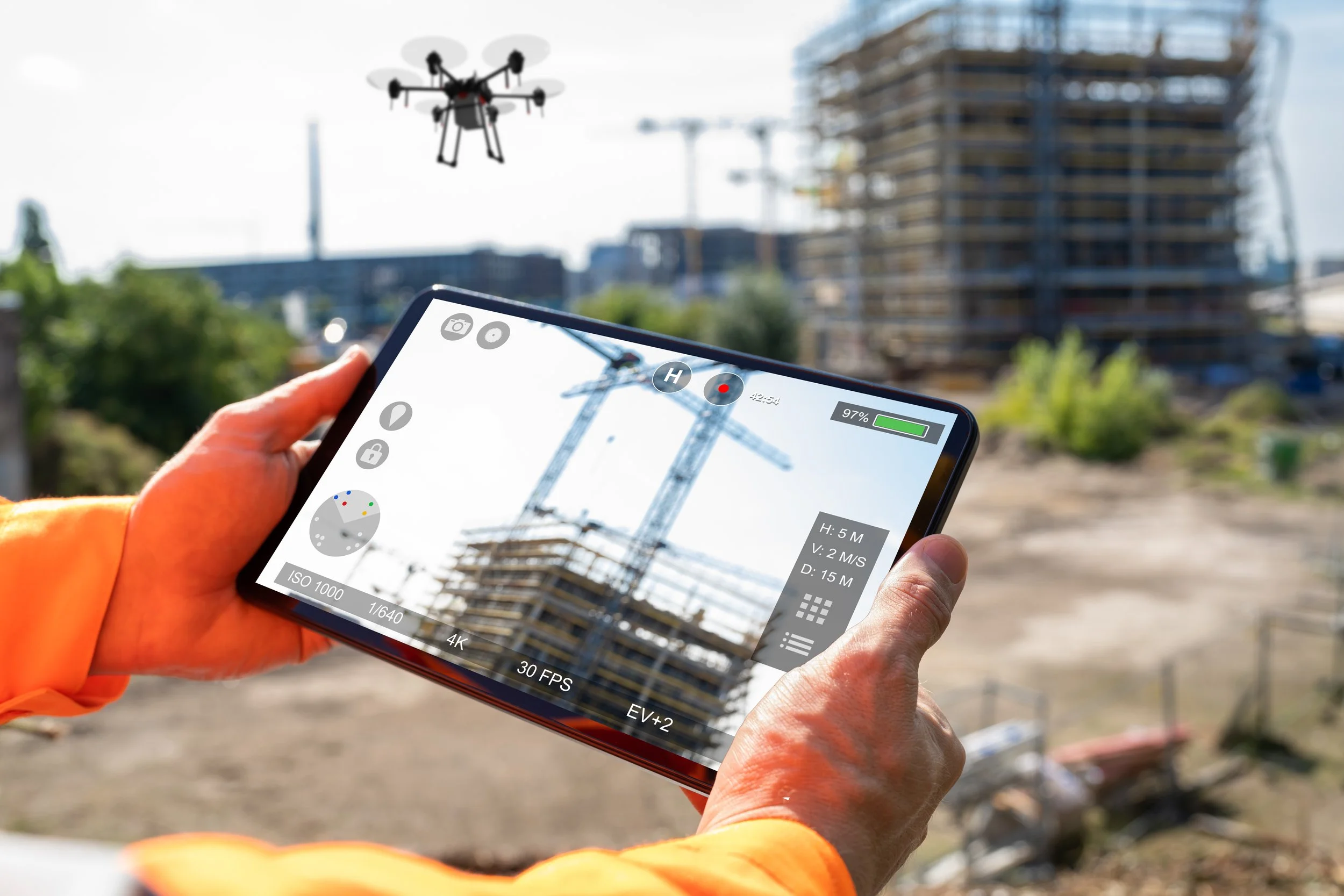
Botlink Capture allows for hands-free drone flights to collect images for processing
Another expansion that was mentioned is how much more accurate volume measurement is with drones. With current software technology, like Botlink’s Insites, you are able to capture this data, upload it to the cloud after flight, and pinpoint the areas of volume you’d like to measure easily and accurately. According to one of our own aggregate customers, the fixed wing LiDAR that was used to fly overhead to measure exact amounts was reduced from twice a year to once with our technology. As well, when pinning them head to head the drone and manned aircraft came back within 3% of one another. And that was only with an off the shelf DJI compared to tens of thousands of dollars for one LiDAR flight!
So with all this considered, using a drone for your aggregate mapping and volumentrics is quicker, easier, safer, and saves thousands of dollars each year of use. With how abundant and easy to use this new technology is, it is much better to get in and utilize this technology sooner rather than later.

Want to know how easy it is to get a drone program set up at your location? Reach out to us - https://botlink.com/contactus